October sea surface temperature anomaly hits 2.6 degrees above normal
El Niño expected to peak around December
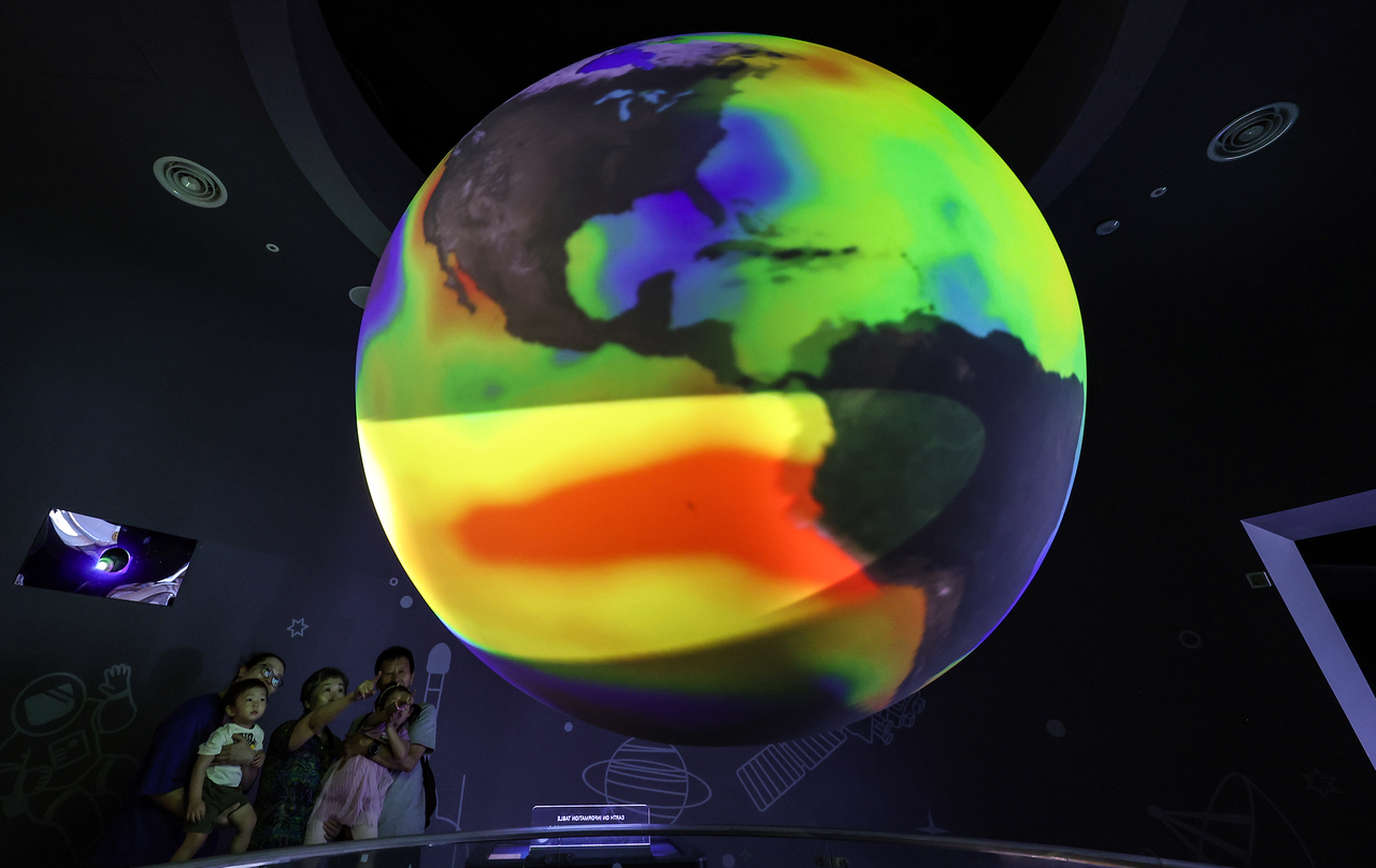
This winter is shaping up to bring the strongest El Niño ever recorded.
According to the Korea Meteorological Administration, the El Niño that began this May has already developed into a strong-level event. Sea surface temperatures in the monitoring zone are now running higher than during the strong El Niño years of 1997 and 2015.
The sea surface temperature anomaly in the El Niño monitoring zone reached 2.6 degrees above the historical average in October. The three-month moving average anomaly for August through October came in at 2.4 degrees. Both figures are all-time highs for the same period.
El Niño occurs when trade winds over the Pacific weaken, allowing warm water that had accumulated in the western Pacific to spread eastward. The KMA declares an El Niño event when the three-month moving average sea surface temperature in the monitoring zone stays at least 0.5 degrees above normal for five or more consecutive months. A deviation of 1.5 degrees or more qualifies as a strong El Niño.
El Niño typically reaches its peak intensity in winter. This year, the KMA expects it to crest around December. Sea surface temperatures in the monitoring zone are already at record highs for this time of year and are likely to remain elevated, meaning the event could grow even stronger, the agency said.
A developing El Niño tends to alter South Korea's winter weather. Reduced convective activity over the tropical western Pacific, combined with a strengthening high-pressure circulation to the east of the peninsula, draws warm, moist air into the Korean Peninsula — pushing winter temperatures above normal and generally increasing precipitation.
The KMA's three-month outlook, released Oct. 23, projected above-normal temperatures and generally higher-than-average precipitation for November and December. Next January is also forecast to see temperatures largely above normal, with precipitation near average. However, the agency cautioned that brief cold-air intrusions remain possible, meaning temperature volatility could be significant.
"This winter, the influence of a strong El Niño is expected to keep temperatures above normal and precipitation generally higher than average," KMA Commissioner Lee Mi-seon said. "Because multiple climate factors are at work simultaneously, it is also necessary to prepare for sudden weather changes such as cold snaps."
newday@heraldcorp.com