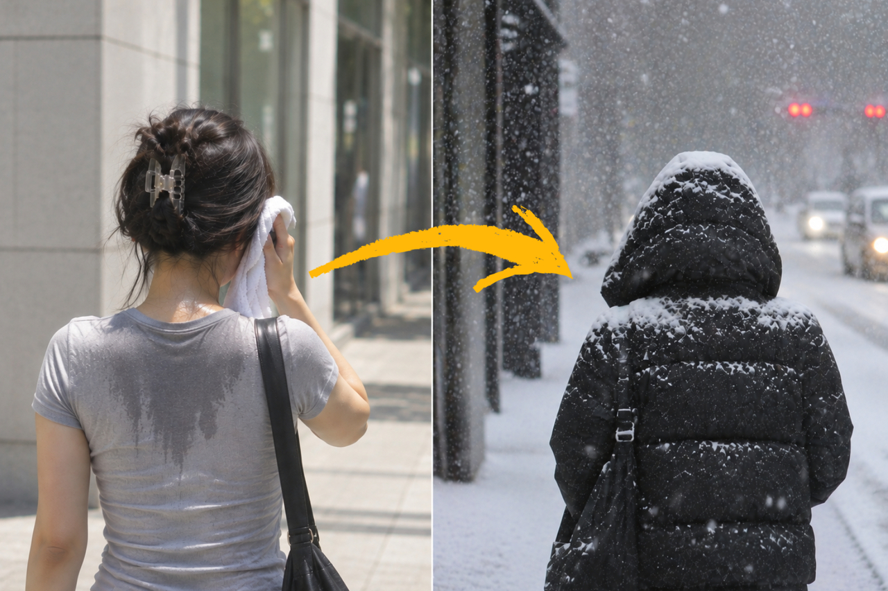
"I was still wearing short sleeves not long ago ... "
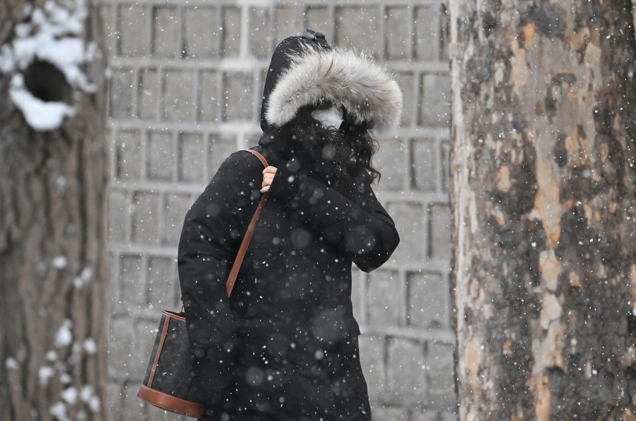
November arrived with a sharp chill. Temperatures dropped enough to make heavy coats a morning-and-evening necessity, and an unusually early first snowfall signaled that winter had, in effect, begun.
Yet just a month ago, conditions were the exact opposite. Daytime highs in Seoul climbed above 30 degrees Celsius as late as mid-October, bringing heat that felt more like midsummer.
The sense that fall was unusually short is not just a feeling. Weather data show this year's seasonal transition was genuinely extraordinary.
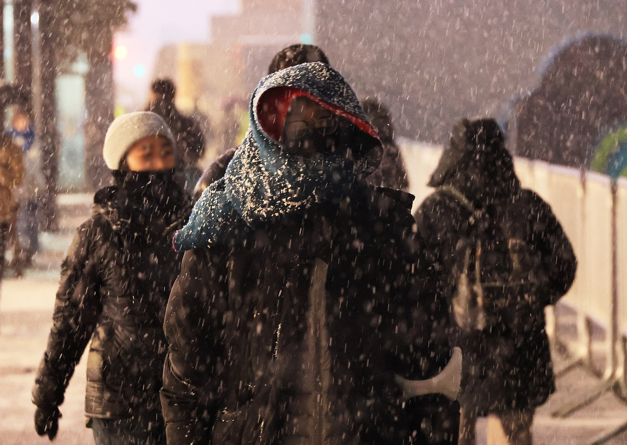
What stands out is that only 27 days passed between the last summer-like heat and the season's first snowfall.
That is the shortest such gap since weather observations began in Seoul — a transition that historically took more than 80 days on average.
This is not simply a one-year anomaly. Climate change is making summers progressively longer and falls progressively shorter.
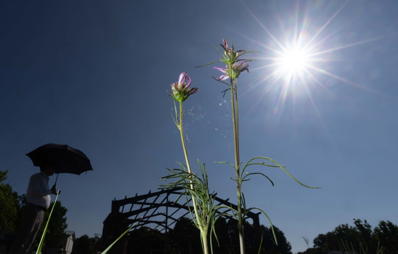
According to Korea Meteorological Administration observational data released Monday, the last day this year on which Seoul recorded a temperature of 30 degrees Celsius or above was Oct. 12, when the daytime high reached 30.1 C — matching the all-time October high for the city.
Just 27 days later, on Sunday, Seoul recorded its first snowfall of the season — 12 days earlier than the historical average and 26 days earlier than last year.
In plain terms, less than a month separated the last day of summer-level heat from the onset of winter conditions.
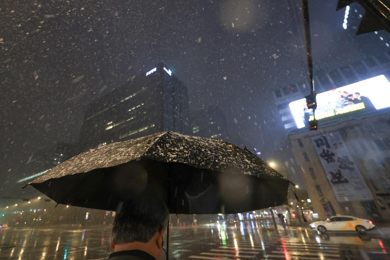
Such back-to-back extremes are not without precedent, but this year's 27-day gap is the shortest ever recorded in comparable observational history.
An analysis of 115 years — out of 120 total from 1907 through this year — for which both temperature and first-snowfall data are available confirmed that 27 days is the smallest interval ever recorded between the two weather events.
The previous record was 32 days, set in 1931. In 1913, the gap was 41 days. This year surpassed both marks.
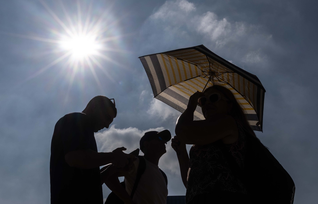
The contrast with historical averages makes the figure even more striking. In the 1970s and 1980s, the gap between the last 30-degree day and the first snowfall averaged 85.4 days — close to three months.
This year that interval was limited to just 27 days, roughly 31.6 percent of the historical average and less than one-third of what was once typical.
Crucially, this is not an isolated occurrence. A review of past observational records shows the gap between the last 30-degree day and the first snowfall has been shrinking gradually over recent decades.
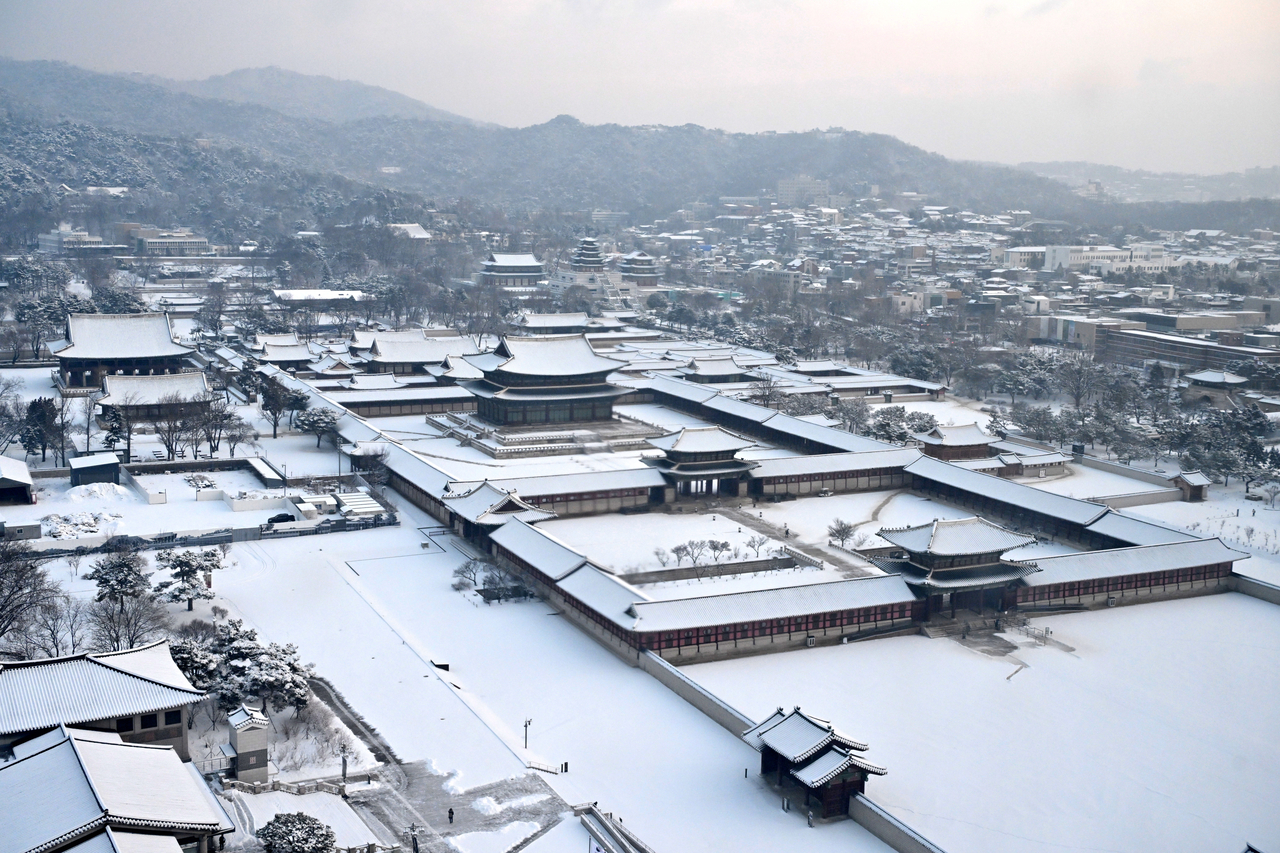
The average gap, which stood at 85.4 days in the 1970s and 1980s, fell to 71.7 days in the 1990s and 74.3 days in the 2000s, then dropped further to 65.4 days in the 2010s. The window between summer heat and winter cold is narrowing decade by decade.
The driving factor is not that the first snowfall is arriving earlier — that date has remained relatively stable. Rather, the end of summer heat is arriving later and later each year, compressing the transition.
An analysis of Seoul observational data from 1973 through last year found that the date of the last day with a daytime high of 30 degrees Celsius or above has been shifting approximately 3.5 days later per decade.
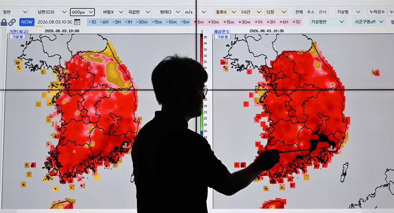
Climate change is the underlying cause. As rising greenhouse gas concentrations push up average global temperatures, the high heat that once belonged almost exclusively to summer has been extending into September and October. Put differently, climate change is eating away at autumn.
A report on 113 years of climate change in South Korea, published by the Korea Meteorological Administration last December, found that the average length of summer in the country grew from 98 days in the 1912–1940 period to 123 days over the most recent 30 years (1995–2024) — an increase of 25 days.

Over the same period, autumn shrank from 73 days to 65 days — a loss of eight days — while winter contracted from 109 days to 87 days, a reduction of 22 days. Winter was once the longest season in South Korea; summer has now taken that distinction. In the process, the boundaries of autumn are growing increasingly blurred.
The deeper concern is that climate-driven weather volatility is making conditions harder to predict. This autumn alone, temperatures swung between warm and cold within the span of just a few days, producing extreme and erratic conditions.
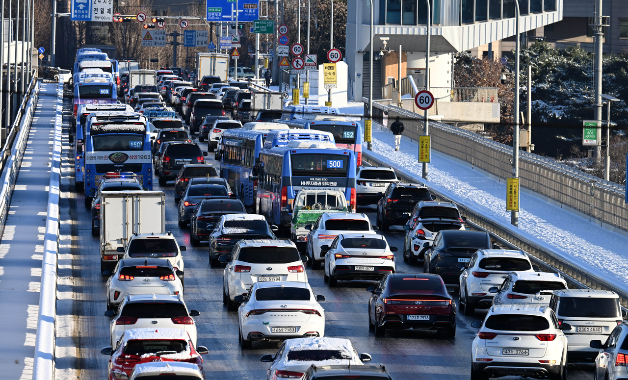
The swings were dramatic. The national average temperature on Oct. 18 was 19.8 C, but four days later it had fallen to 9.8 C. It rebounded to 16.9 C on Oct. 25, only to drop again to 8.1 C on Oct. 28. The difference between October's warmest and coldest daily average nationwide was a full 14 degrees — the fourth-largest such swing since 1973.
The coming winter is expected to follow a similarly unpredictable pattern. The Korea Meteorological Administration has forecast that temperatures this winter will likely run above the historical average, but officials caution that sudden cold snaps and heavy snowfall remain a real possibility.
Behind that forecast is an El Niño event developing at what may be record-breaking intensity. Equatorial Pacific sea surface temperatures last October ran 2.6 C above the historical average — the highest reading for that month since 1950.
A strong El Niño makes it easier for warm, moist air to flow onto the Korean Peninsula, tending to raise winter average temperatures and increase precipitation.
The risk, however, is that a surge of cold air from the north can trigger a sudden cold snap even during an otherwise mild winter. When temperatures drop in an atmosphere already laden with moisture, heavy snowfall can follow quickly.
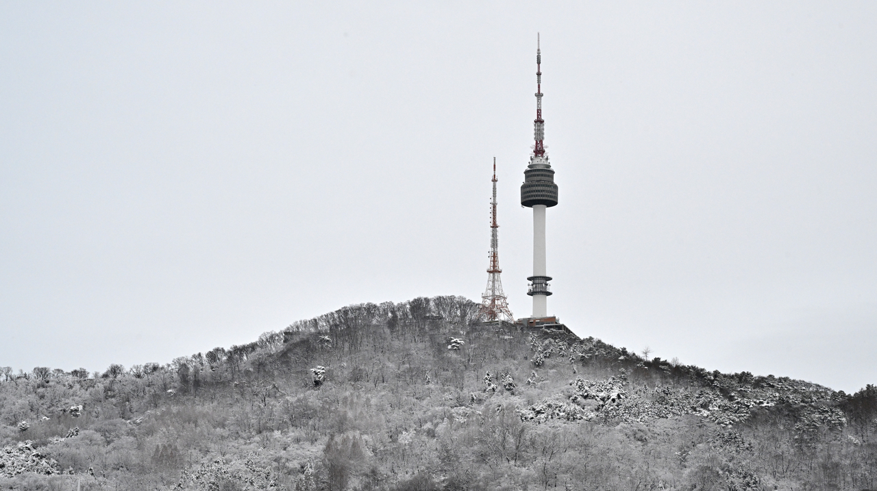
In November 2024, Seoul recorded a historic 28.6 centimeters of accumulated snow — the result of powerful cold air sweeping in over a West Sea that was warmer than usual, supplying abundant moisture. The episode illustrates a key point: even as climate change lengthens summers and warms winters, sudden cold snaps and heavy snowstorms are not disappearing.
Korea Meteorological Administration Commissioner Lee Mi-seon said Friday that temperatures this winter are expected to run above the historical average and precipitation above normal due to the strong El Niño, but stressed that "given the range of climate factors at play, it is still necessary to prepare for abrupt weather changes such as cold snaps."

woo@heraldcorp.com