Inside the Korea Meteorological Administration's National Meteorological Satellite Center
Satellite produces 800,000 images a day; AI forecasts cloud cover 7 hours ahead
Low-orbit satellites added to wildfire detection network
Next-generation Chollian-5 in development with sharper resolution
Satellite imagery of Earth streamed in real time across a large monitor, a crosshair on screen marking the exact spot the satellite was photographing at that moment. Images sweeping the Korean Peninsula every two minutes are transmitted directly to the satellite operations room and processed into meteorological analysis data. The facility produces roughly 800,000 satellite images a day. As climate change drives more frequent and harder-to-predict extreme weather, the technology for watching the skies and anticipating danger is evolving alongside it.
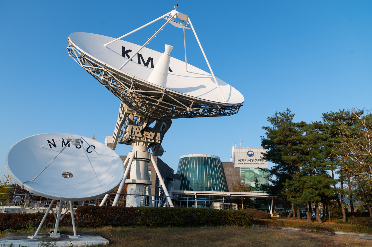
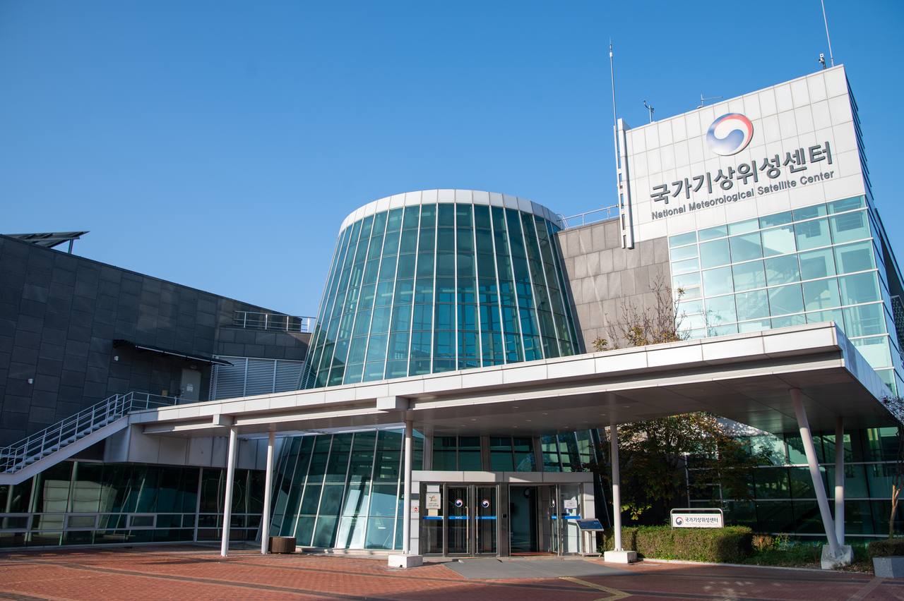
A reporter visited the Korea Meteorological Administration's National Meteorological Satellite Center in Jincheon, North Chungcheong Province, over two days starting Thursday. Outside the building stands a large white antenna 9 meters in diameter alongside several smaller antennas that receive data from overseas satellites. The center operates Chollian-2A, a geostationary meteorological satellite, and analyzes and distributes the data it collects.
In the satellite operations room, staff monitor the satellite's position and status and receive observational data. The incoming data are processed into imagery and analysis products and distributed to forecasters and domestic and international agencies. Chollian-2A generates roughly 6 terabytes of data per day.
Chollian-2A scans the entire globe every 10 minutes and photographs the Korean Peninsula and surrounding region every two minutes. Launched in 2018 and operational since 2019, the satellite's shorter observation cycle compared with its predecessor allows it to track rapidly changing weather phenomena — such as typhoon movement and cloud development — in far greater detail.
Kim Do-hyung, director of the National Meteorological Satellite Center, used typhoon tracking to illustrate the importance of the two-minute interval. "A two-minute interval is essentially the same as continuous tracking, which means we can pinpoint the center of a typhoon far more precisely," Kim said.
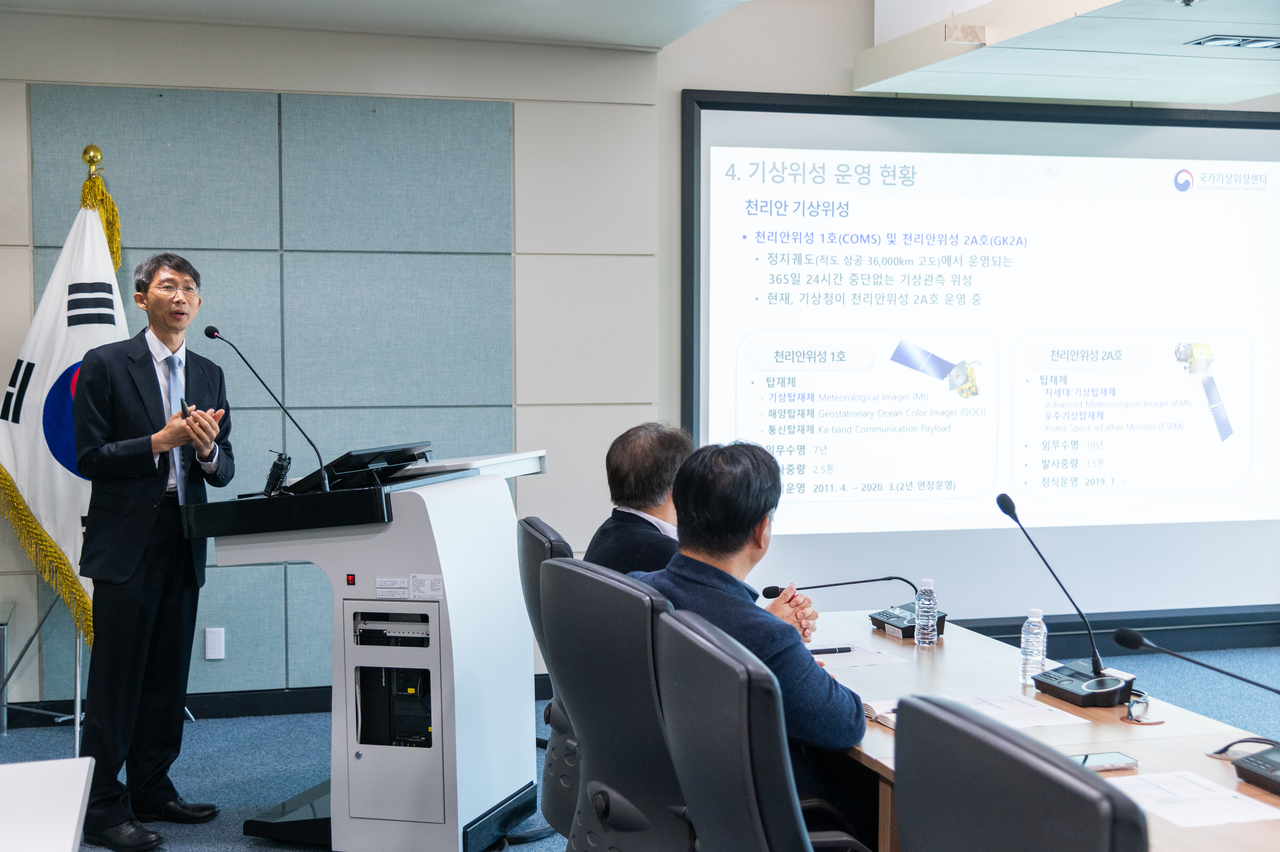
Satellite imagery is used not only for observation but also for forecasting. The center has developed an AI-based technology that predicts sky conditions up to seven hours ahead. The conventional approach estimated future cloud positions by calculating the direction and speed of cloud movement, but it struggled to account for clouds that newly form, develop or dissipate.
The new technology feeds imagery captured by Chollian-2A into an AI model to generate predicted future satellite images. By repeatedly forecasting the image 10 minutes ahead, the system can look as far as seven hours into the future. It then calculates cloud cover from the predicted images and classifies sky conditions as clear, mostly cloudy or overcast. The system produces a seven-hour forecast within 16 minutes of receiving observational data.
When the center compared forecasts from April through October this year against ground observation data nationwide, the accuracy rate for mostly cloudy and overcast conditions was about 30 percentage points higher than with the conventional method, while the false-alarm rate fell by about 19 percent. The improvement reflects the system's ability to incorporate not just cloud movement but also cloud formation and dissipation.
Work is also underway to reduce gaps in disaster monitoring by combining data from multiple satellites. Since Sept. 10, the center has been running a pilot wildfire monitoring service that draws on Chollian-2A alongside seven foreign low-Earth-orbit satellites. Previously, wildfire surveillance relied on Chollian-2A alone; adding American and European low-orbit satellites has expanded the monitoring constellation to eight.
The two types of satellites offer complementary strengths. Chollian-2A observes the entire Korean Peninsula every two minutes, providing uninterrupted coverage of whether a wildfire has started or is still burning. Its imagery resolution of about 2 kilometers, however, limits its ability to detect small fires. Foreign low-orbit satellites pass over the Korean Peninsula only once or twice a day, but they deliver sharper imagery at resolutions of 375 meters to 1.1 kilometers. Using both together allows small fires missed by Chollian-2A to be detected.
A validation exercise covering 205 passes by foreign low-orbit satellites over the Korean Peninsula during wildfires that occurred in 2025 found that the detection rate for fires smaller than 1 hectare rose from 1.3 percent to 9.8 percent. For fires between 1 and 10 hectares, the detection rate improved from 12.5 percent to 31.2 percent. Low-orbit satellites identified 21 wildfires that Chollian-2A had missed, 19 of which were small fires under 10 hectares.
The center overlays observation results from each satellite to provide an integrated picture of a wildfire's location and the direction it is spreading, with data updated every hour on the center's website. Kim said that beyond simply detecting whether a fire has broken out, tracking how a blaze moves once it grows into a large wildfire is critically important.
"In a country with as small a land area as ours, there are not that many cases where a fire goes undetected and cannot be suppressed in its early stages," Kim said. "What matters a great deal is using satellites to provide information on how a fire moves once it becomes a large wildfire."
Low-orbit satellites, however, pass over the Korean Peninsula on a fixed schedule and cannot provide round-the-clock coverage. The system compensates by pairing Chollian-2A's frequent observations with the high-resolution imagery from low-orbit satellites. Fine-grained images captured when a foreign satellite passes overhead are used to detect small fires, while Chollian-2A's continuous stream of data tracks how a fire evolves over time.
Next-generation Chollian-5 satellite under development
Development of a successor satellite to sustain the current observation capability is already in progress. The Korea Meteorological Administration has been developing Chollian-5 since April last year, with a total budget of 666.8 billion won ($497 million) and a completion target of December 2031. The satellite will be South Korea's third geostationary meteorological satellite and will take over the mission of Chollian-2A. The project is also notable as the first geostationary satellite development program in the country to be led by a private company.
Chollian-5 will carry three additional infrared observation channels compared with its predecessor. Visible-image resolution is set to improve from 500 meters to 250 meters, and infrared-image resolution from 2 kilometers to 1 kilometer. A key goal is enhancing lower-atmospheric water vapor observation to improve monitoring and forecast accuracy for hazardous weather such as heavy rainfall. The satellite will also carry space weather monitoring instruments to provide data for responding to satellite disruptions and aviation hazards caused by solar activity.
Chollian-2A has already exceeded its designed service life of seven years but continues to operate stably. As of September 2026, its on-time image delivery rate stands at 99.97 percent — the share of images distributed within three minutes of completing a scan. The satellite provides real-time imagery services to 36 domestic agencies and 19 countries.
The center plans to keep Chollian-2A running reliably while accelerating development of its successor. Kim said the satellite's performance remains "in good condition," but added that the center is focused on strengthening the observational capabilities of the next-generation satellite as climate change makes it increasingly difficult to forecast weather based on historical patterns alone.
newday@heraldcorp.com