- Combines satellite data with different observation cycles and resolutions
- Distinguishes broadleaf and conifer forests just 320 meters apart
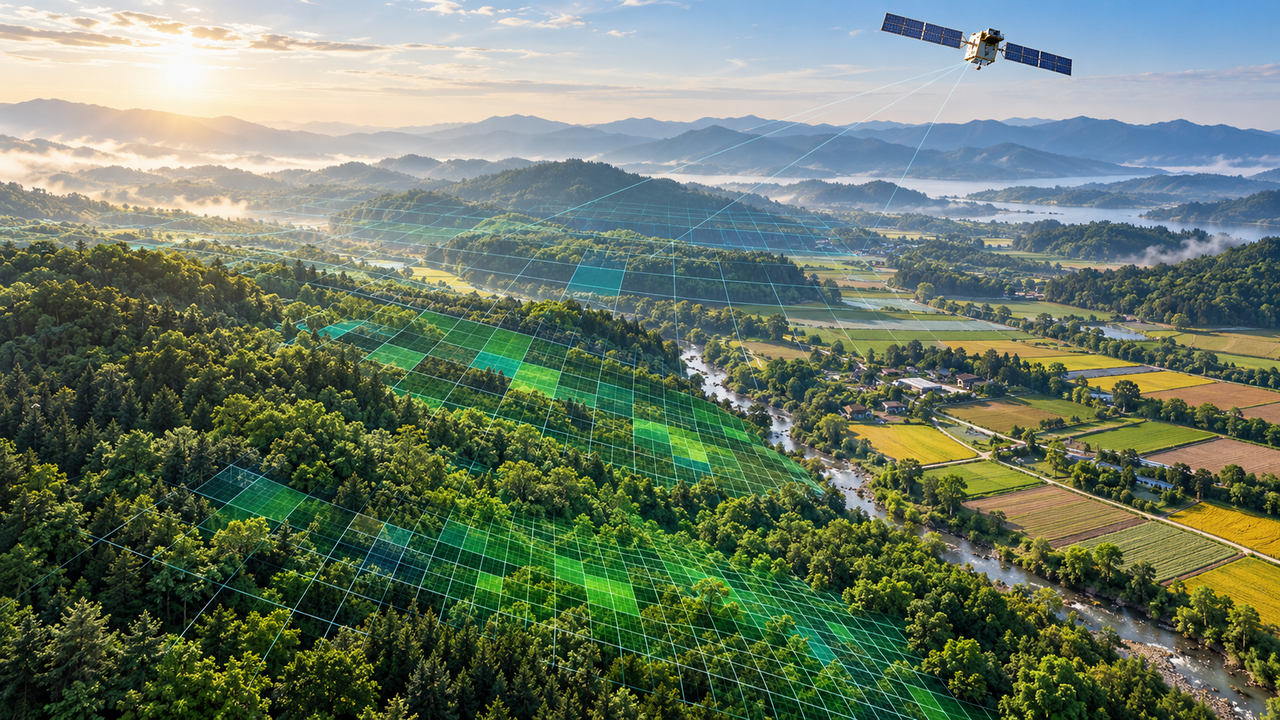
Researchers have developed an AI-powered technology that can more precisely track the amount of carbon dioxide absorbed by forests and farmland using satellite data. By combining observations from different satellites, the system can distinguish carbon absorption differences even within small areas, and is expected to support climate change response and carbon neutrality policy development.
The Ulsan National Institute of Science and Technology (UNIST) announced Tuesday that a research team led by Professor Lim Jung-ho of the Department of Urban and Environmental Engineering has developed an AI technology called UNIQUE that precisely estimates carbon absorption by plants by merging data from different satellites.
Plants absorb carbon dioxide from the atmosphere through photosynthesis. The amount of carbon absorbed in this process is known as gross primary production, or GPP. Accurately measuring plant carbon absorption is critical for assessing forests' carbon storage capacity and responding to climate change.
Existing satellite observations, however, face a fundamental trade-off: satellites that capture detailed surface imagery have long revisit cycles, while those that observe daily cover large areas at lower resolution.
To overcome this, the research team combined the US Landsat satellite, which observes the Earth's surface at 30-meter resolution, with the MODIS satellite, which provides daily observations.
The approach involves generating separate carbon absorption maps from each satellite's data, then integrating the two maps into one using the team's own AI model, U-SCALER.
The system further improves estimation accuracy by incorporating red and near-infrared reflectance data that indicate plant growth conditions, along with meteorological variables affecting photosynthesis — including solar radiation, temperature and moisture levels.
Performance was confirmed in real-world validation tests.

When the team applied the technology to the Taehwasan area, it successfully distinguished carbon absorption differences between a deciduous broadleaf forest and an evergreen conifer forest located roughly 320 meters apart. Under conventional 500-meter satellite data, the two forests appeared to follow nearly identical carbon absorption trends, but the new technology differentiated their distinct vegetation characteristics.
In a mixed agricultural and forested region in Wisconsin, the system also distinguished carbon absorption differences across individual sub-zones.
Accuracy also improved. The carbon absorption estimation error of the individual satellite-based AI models was 13 to 28 percent lower than that of existing global carbon absorption datasets.
When the final combined output was compared against data from 30 ground observation stations worldwide, the root mean square error — a standard measure of estimation error — came to 2.60 grams of carbon per square meter per day, about 8 percent lower than conventional satellite image fusion methods.
The technology is expected to help precisely analyze the carbon absorption capacity of forests and farmland and assess the ecological impact of climate disasters such as droughts and wildfires.
The methodology has also, after an optimization process, been incorporated into the Korea Carbon Project, a region-specific carbon information platform, to diagnose terrestrial carbon absorption.
"By expanding the scope to cover various satellites and carbon-related variables, this technology could be applied to precision monitoring for forest and farmland management, assessment of climate disaster impacts on ecosystems, and carbon neutrality policy," Professor Lim said.
The findings were published in Remote Sensing of Environment, an international journal in the field of remote sensing.
nbgkoo@heraldcorp.com