About 300 officials and students to take part in Namwon, North Jeolla Province
Event aims to build expertise among cadastral, geospatial workers
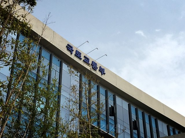
A gathering aimed at testing the latest cadastral and drone surveying technology and sharpening professional skills is set to open. Starting this year, the event will add a category for university students, significantly expanding opportunities for future geospatial professionals to gain hands-on field experience.
The Ministry of Land, Infrastructure and Transport said Thursday that it will co-host the 2026 National Land Information Challenge Cadastral and Drone Surveying Competition with North Jeolla Province and the Korea Land and Geospatial Informatix Corp., known as LX, for two days starting that day through Friday at the Namwon Sports Complex in North Jeolla Province.
Now in its seventh year, the competition is divided into two categories: cadastral surveying and drone surveying. About 300 participants are expected, including civil servants representing local governments from 17 cities and provinces nationwide, LX and private-sector workers, and university students.
In particular, this year marks the first time a university student category has been added to the drone surveying competition. The student competition is designed with questions similar to the national cadastral technician certification exam, giving participating students a chance to experience the latest technology and build career-related skills.
In the cadastral surveying category, participants are evaluated on their ability to use advanced surveying equipment such as Global Navigation Satellite System devices. In the drone surveying category, participants use low-altitude drones to measure land boundaries and shapes, with rankings determined by the accuracy of their results.
Drone surveying is increasingly being adopted because it can significantly cut the personnel and time required compared with conventional cadastral surveying methods. It is especially useful in hard-to-access areas such as mountainous terrain or for large-scale surveying projects. The ministry established the drone surveying category in 2022, then formalized the practice by enacting the Drone Cadastral Surveying Regulation in 2023.
"We hope this competition becomes a venue where the public sector, private industry and academia can share expertise and experience in cadastral surveying and communicate with one another," said Kim Tae-hyung, director of the ministry's Geospatial Information System Division. "We will continue to actively support the advancement of surveying technology by introducing a variety of new techniques in the cadastral and drone surveying fields."
Meanwhile, the ministry has drawn up a record 69 trillion won ($51.5 billion) budget proposal for next year, up 6.2 trillion won, or 9.9 percent, from this year's original budget of 62.8 trillion won. Most of the increase is focused on expanding housing supply, with 6.2 trillion won newly allocated for a "universal rental housing" project that reflects transit-oriented locations and mid-sized units.
hwshin@heraldcorp.com