Below-freezing temperatures expected on Ipdong, the seasonal marker for winter's start
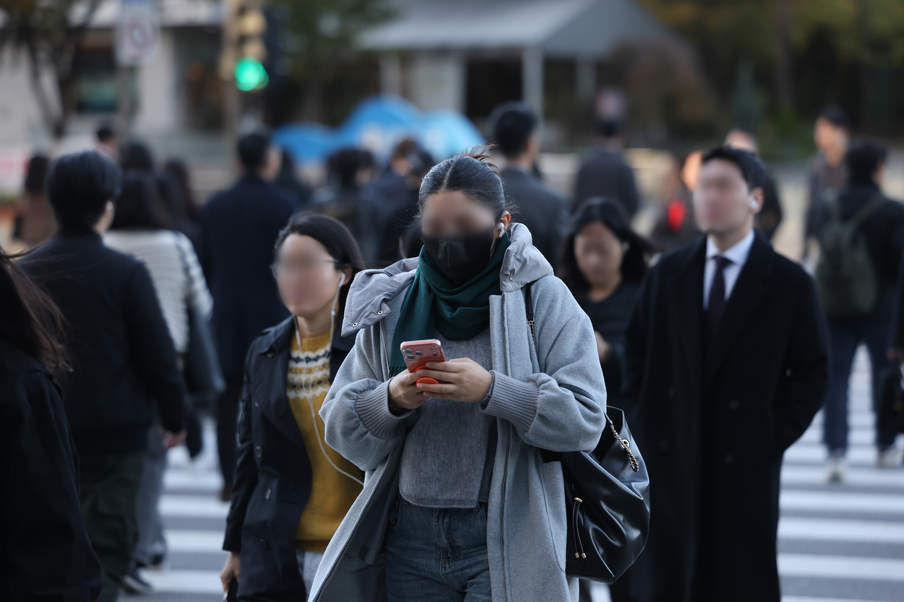
Rain will fall across the country Thursday, hastening the arrival of winter.
Once the rain clears, cold northwesterly winds will push in and temperatures are expected to drop sharply, bringing early-winter conditions over the weekend.
According to the Korea Meteorological Administration, a low-pressure system is approaching from the west, and as of 5 p.m. Wednesday rain was already falling on Jeju and the southern coast of South Jeolla Province.
The low-pressure system is forecast to pass through the South Sea. Rain will spread to the southern coast, the Honam region and western South Gyeongsang Province late Wednesday night, then to the rest of the Yeongnam region, southern Incheon and Gyeonggi Province, southern inland Gangwon Province and the Chungcheong provinces by early Thursday morning, before covering the entire country by Thursday morning.
Most areas will see the rain stop by Thursday afternoon, though some parts of Jeju may continue to receive rain through Thursday evening.
Expected rainfall totals by region are: 20–60 millimeters on Jeju's mountain and mid-mountain areas; 10–40 mm in Gwangju, South Jeolla Province, Busan, Ulsan, South Gyeongsang Province and Jeju (excluding mountain and mid-mountain areas); 5–30 mm in North Jeolla Province; 5–20 mm in the Chungcheong provinces, Daegu, North Gyeongsang Province, Ulleungdo and Dokdo; 5–10 mm in southern inland and mountainous areas of Gangwon Province; and around 5 mm in the greater Seoul metropolitan area, the West Sea Five Islands and the rest of Gangwon Province.
Jeju residents should prepare for strong gusts of 70 kilometers per hour or more — reaching 90 kph over mountain areas — accompanying the rain from early Thursday morning.
Temperatures will remain above seasonal norms through Thursday morning before falling to average levels by Thursday afternoon. A cold northwesterly wind flowing in along the edge of a high-pressure system moving southeast from northern China on Friday will then drive temperatures down sharply by about 5 to 8 degrees Celsius.
Thursday's morning low is forecast at 6–15 C, with a daytime high of 13–19 C.
Forecast lows and highs for major cities on Thursday are: Seoul 10 C and 17 C; Incheon 10 C and 16 C; Daejeon and Daegu 10 C and 15 C; Gwangju and Ulsan 12 C and 17 C; and Busan 15 C and 19 C.
On Friday, morning lows are expected to range from 1 to 12 C, with daytime highs of 9–17 C. Gusts of around 55 kph (15 meters per second) nationwide will make it feel even colder.
The weekend will feel like early winter.
On Saturday — which also marks Ipdong, the traditional seasonal marker for the start of winter — morning temperatures will drop to between minus 4 and 5 C, putting most of the country below freezing, with daytime highs reaching only 8–14 C. Sunday's morning low is forecast at minus 2 to 6 C, with a daytime high of 7–15 C.
At sea, strong winds of 35–50 kph (9–14 m/s) and waves of 1.5–3.5 meters are expected in the northern outer waters of the southern West Sea from early Thursday morning, in the southern outer waters of the southern West Sea, the western outer waters of the western South Sea and Jeju maritime areas from Thursday morning, and in the outer waters of the eastern South Sea from Thursday night.
Rough seas are also expected in other offshore waters from Friday, and mariners are advised to check weather updates frequently.
yg@heraldcorp.com