Above-normal temperatures to persist through Monday, with scattered showers; rain nationwide Tuesday to break the heat; morning lows to drop to 5–15 C by Wednesday
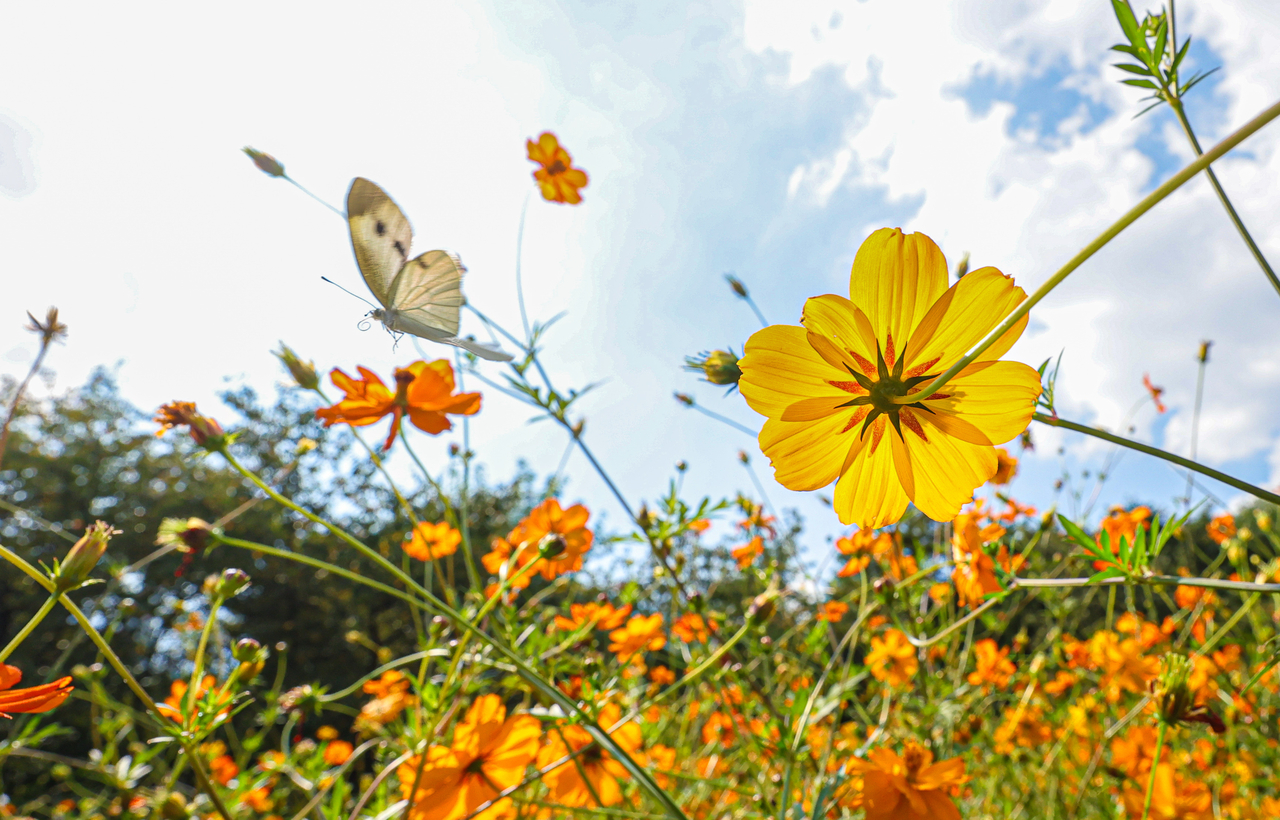
Daytime temperatures climbed above 30 C across much of the country on Sunday, including in Seoul, sustaining an unseasonable late-season heat wave. The heat is expected to persist through Monday before rain falls nationwide Tuesday and temperatures ease.
According to the Korea Meteorological Administration, morning lows on Sunday ranged from 9 to 21 C and afternoon highs reached 22 to 31 C — above seasonal norms. In Seoul's Dobong-gu, the mercury hit 30.3 C at 4:10 p.m. Other high readings included 30.4 C in Hayang-eup, Gyeongsan, North Gyeongsang Province; 30.1 C in Gwangyang-eup, Gwangyang, South Jeolla Province; and 30.0 C in Hwagae-myeon, Hadong, South Gyeongsang Province.
The late heat is forecast to continue Monday. Morning lows are expected to range from 13 to 20 C and afternoon highs from 22 to 29 C. Forecast highs for major cities include 26 C in Seoul, Incheon and Ulsan; 28 C in Daejeon, Gwangju and Daegu; and 27 C in Busan.
Between Monday afternoon and evening, scattered showers of 5 to 10 millimeters are possible in parts of the central inland regions, the northeastern part of North Jeolla Province, and the central and northern inland areas and northeastern mountain zones of North Gyeongsang Province.
Rain already falling over Jeju Island and the southwestern part of South Jeolla Province will expand to cover the broader South Jeolla region from Monday afternoon. By Tuesday, rain is expected across most of the country, gradually tapering off from midday.
Forecast rainfall totals are 20 to 70 mm for Jeju Island; 5 to 50 mm for Gwangju and South Jeolla Province; and 5 to 40 mm for Busan, Ulsan and South Gyeongsang Province. The Greater Seoul metropolitan area, Gangwon Province, North Jeolla Province, Daegu and North Gyeongsang Province, and Ulleungdo and Dokdo can expect 5 to 30 mm, while the Chungcheong region is forecast to receive 5 to 20 mm.
Jeju Island could see heavy rain of 10 to 20 mm per hour between early morning and morning on Monday. In areas where rain falls Tuesday, gusty winds accompanied by thunder and lightning are also possible.
Temperatures are expected to fall sharply once the rain clears. Tuesday morning lows are forecast at 14 to 20 C and afternoon highs at 20 to 25 C, but by Wednesday morning temperatures could drop to as low as 5 to 15 C. Some areas may see morning temperatures fall by as much as 5 to 10 degrees in a single day, bringing noticeably cooler conditions.
From Tuesday night, strong gusts of around 55 kilometers per hour are possible, particularly along the west coast and in Gangwon Province. Winds are also expected to strengthen over the outer waters of the central West Sea, with waves reaching up to 3 meters — conditions that call for caution regarding maritime safety.
brunch@heraldcorp.com